

LOUTH WEATHER: Forecast for the week ahead
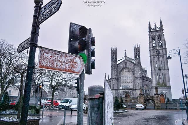

Week ahead
Local weather expert Louth weather has warned that although there is no sign of a so-called 'Beast from the East' there is an outside risk of snowfall later this week.
The forecast sees the county looking at colder than average temperatures with frost and ice developing every night. It will be drier than average and less windy than average too.
Here's the update for this week form Louth Weather's facebook page:
MONDAY: A mix of winter sunshine and cloud. Overall dry, but the odd shower could occur. These will be wintry over the hills. Light to moderate west to northwest winds. Max 6°C.
TUESDAY: A mix of cloud and sunny spells. Mostly dry with some showers about. Exactly where these occur is impossible to pin point. They will be wintry over high ground. Moderate westerly winds. Cold at only 4°C.
There will be little change during the rest of the week. Cold by day at 4°C, with values close to 0°C each night. As I indicated last Monday, there's an ongoing risk that areas of low pressure will develop in this airflow and impact on us. This is what happened Saturday night and caught many by surprise. So while the overall situation is quite settled, I wouldn't rule anything out.
Finally there's also a low risk that we could see some snowfall. Currently I'm watching Tuesday and late Thursday in particular. Tuesday will be showery so it's very hit or miss, with areas further north and west getting most of the showers. A possible low pressure system passing on Thursday could see snow developing on the northern flanks, but it will be Wednesday before I have an accurate call on this.