

LEVEL 5: What's within the 5km radius of your home? This handy map answers just that!
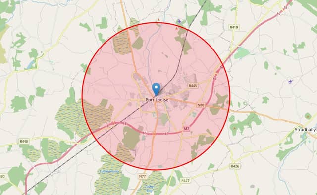

This will come in useful over the next few weeks!
The Government announced on Monday night that Ireland will move to Level 5 of the Plan for Living with COVID-19 from midnight on Wednesday for a period of six weeks.
As part of the Level 5 restrictions, the entire country will re-enter a full-scale lockdown with a 5km travel restriction and the closure of non-essential retail and services in response to growing Covid-19 case numbers.
Now, while most of us took full advantage of our 2km, and then 5km, radius back in March during the first lockdown, perhaps there's a road less travelled or a few hidden gems to explore this time around.
So, what's in your 5km radius?
If in doubt, and to prevent you from being hit by hefty fines and penalties, there's a handy online tool that will show you exactly where your radius extends to in a few quick taps.
Some may remember the tool from back in March when Irish software developer Dave Bolger launched the service and it proved a massive hit.
Simply drag the pin to your location on the map and see what's within your 5km limit. It's that easy!
If the map doesn't show; enable location services on your phone and for your browser, allow the site permission to access your location.
CLICK HERE to see what's within 5km from your home during lockdown.