

Weather warnings in place as stormy conditions set to remain into next week
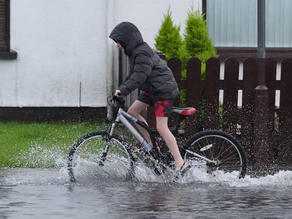

Status yellow weather warnings are in places for 11 counties on Monday.
Donegal is the last county in Ireland with a Storm Boelo weather warning still in place, but on bank holiday Monday more warnings will be activated in 11 counties across the island of Ireland.
As the second storm of the year trails north of the island, the wind and rain associated with Storm Boelo has eased, but its impact is felt in the flooding and power outages it left in its wake.
ESB said at midday on Sunday, that about 18,000 homes, farms and businesses were still without electricity as a result of the storm, primarily in the north west of the country.
A spokesperson said: “If you come across fallen wires or damaged electricity network, never, ever touch or approach these as they are live and extremely dangerous. Please report any damage to electricity infrastructure.”
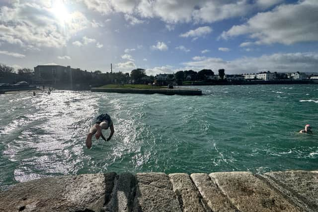
A new weather system is going to hit Ireland next week, however, and status yellow weather warnings are in place for 11 counties.
A wind warning will be in place all day on Monday for counties Carlow, Clare, Donegal, Kilkenny, Waterford, Wexford and Wicklow.
That warning is also in place for Cork, Galway, Kerry and Mayo which will additionally see yellow rain warnings.
There were fears during the week that the weather system could build and become a named storm. According to Ciara O’Hare, a Met Éireann forecaster, though, the dull and blustery conditions it will bring will not meet the threshold.
“There will be some impactful weather from this system moving in, but it’s not a named storm,” she said.
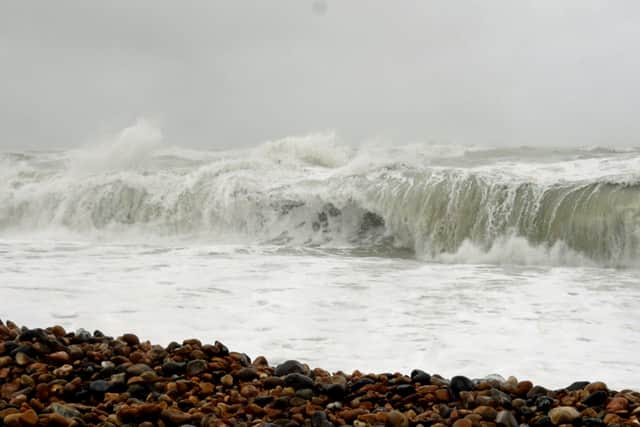
“So the impactful weather that we’re going to see will be more rain and wind, but not at the levels required for a named storm.”
Ms O’Hare said that the major issue with the new weather system is the compounding affect it will have on areas already impacted by Storm Austen and Storm Boelo.
“There’s already a lot of rain having fallen, so the ground could be waterlogged or saturated, and so it could potentially impact rivers. And if there’s already been some wind, there could be damage to buildings, and then more wind could exacerbate that,” she said.
“There is more rain coming and more wind coming.”

Met Éireann has issued a yellow wind warning for Antrim, Down and Derry for all day on Tuesday.
The UK Met Office has also issued a yellow warning in those counties, but forecasted that the worst of the conditions will be confined to the very north east of Northern Ireland, including Coleraine, Larne and Ballycastle.
It warned people in the area affected that there is a chance that some roads and bridges could close and power and mobile services could be down.
It also said there is a small chance that injuries and danger to life could occur from large waves and flying debris.
In a statement, it said that weather warnings could change quickly and advised people there to, “prepare to protect your property and people from injury”.
“Check for loose items outside your home and plan how you could secure them”, it added, “and give yourself the best chance of avoiding delays by checking road conditions if driving, or bus and train timetables, amending your travel plans if necessary.”
According to Met Éireann, the weather will finally settle down after Tuesday.